Kamis, 13 Februari 2020

Migrasi TRMM Ke GPM IMERG

Misi TRMM telah berakhir, data yang tersedia hanya sampai tanggal 31 Desember 2019 saja. Hal tersebut diumumkan melalui web site https://pmm.nasa.gov/data-access/downloads/trmm.

UPDATE: The TRMMOpen FTP server has been shut down as of December 31st, 2019, coinciding with the scheduled end to TMPA production. Historical TMPA data will be made available on the GPM FTP servers in the near future. Our team is in the process of updating the links on this webpage to reflect this change, but in the meantime some of the URL's listed may be non-functional. Historical TMPA data can also be download from the NASA GES DISC at: https://disc.gsfc.nasa.gov/datasets?keywords=TMPA&page=1

TRMM Mission Comes to an End

After over 17 years of productive data gathering, the instruments on TRMM were turned off on April 8, 2015. The spacecraft re-entered the Earth’s atmosphere on June 15, 2015, at 11:55 p.m. EDT, over the South Indian Ocean, according to the U.S. Strategic Command’s Joint Functional Component Command for Space through the Joint Space Operations Center (JSpOC), and most of the spacecraft was expected to burn up in the atmosphere during its uncontrolled re-entry. The Tropical Rainfall Measuring Mission (TRMM), a joint mission of NASA and the Japan Aerospace Exploration Agency, was launched in 1997 to study rainfall for weather and climate research.
The GPM IMERG dataset now includes TRMM-era data going back to June 2000, and is now the recommended multi-satellite dataset to use for most purposes. The multi-satellite 3B42* / TMPA / TMPA-RT dataset ended on December 31, 2019.  Learn more about  the transition from 3B42*/TMPA to IMERG.

Rabu, 29 Januari 2020

Deretan Ikan 'Raksasa' yang Pernah Tertangkap di Sungai Batanghari

https://sidakpost.id/01/11/2018/puluhan-ikan-tapah-berukuran-jumbo-muncul-di-bungo/
 
Sungai Batanghari adalah sungai terpanjang di Sumatera, dengan panjangnya mencapai 800 km. Mata airnya berasal dari Gunung Rasan (2585 m), dan yang menjadi hulu dari Batang Hari ini adalah Danau Di Atas, yang sekarang masuk kepada wilayah Kabupaten Solok Provinsi Sumatera Barat, dan mengalir ke selatan sampai ke daerah Sungai Pagu, sebelum berbelok ke arah timur. Aliran dari sungai ini melalui beberapa daerah yang ada di provinsi Sumatra Barat (Kab. Solok Selatan dan Kab. Dharmasraya) dan provinsi Jambi (Kab. Bungo, Kab. Tebo, Kab. Batanghari, Kota Jambi, Kab. Muaro Jambi, dan Kab. Tanjung Jabung Timur).

Selasa, 28 Januari 2020

Johor Bahru Edisi Wisata Dadakan


Pelabuhan Ferry Batam Center
Jam menunjukkan pukul 14.30 WIB, Ferry Majestic yang membawa kami dari pelabuhan HarbourFront Singapura ke Batam Center segera akan bersandar. Seperti mimpi saja rasanya karena baru saja selesai menjelajahi negara Singa tersebut (baca: https://arifmarufi.blogspot.com/2020/01/wisata-singapura-kemana-mana-naik-mrt.html). Saya melirik isi dompet, masih lumayan banyak yaitu sekitar 170 SGD atau sekitar 1.7juta rupiah. Alhamdulillah..........................

Senin, 27 Januari 2020

Cara Plot Data Curah Hujan Harian GSMaP Dengan ArcGIS

Data grid GSMaP harian yang telah diekstrak dalam format .txt dapat juga diplot dengan  menggunakan aplikasi ArcGIS. Untuk cara download data GSMaP silahkan baca : 
https://arifmarufi.blogspot.com/2018/10/cara-download-data-curah-hujan-gsmap.html ; 
dan untuk ekstrak datanya silahkan baca : 
https://arifmarufi.blogspot.com/2020/01/cara-plot-dan-ekstrak-data-gsmap.html

Output data dari proses ekstrak dengan menggunakan aplikasi GrADS adalah file format txt, dalam hal ini saya beri nama tanggal bulan dan tahun data. Misalnya 25012020.txt untuk data GSMaP tanggal 25 Januari 2020. Untuk mengeplot data tersebut dengan aplikasi ArcGIS dapat mengikuti langkah sebagai berikut :

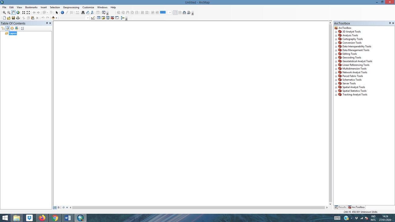
Buka aplikasi ArcGIS dengan double click pada icon, maka akan keluar :


Rabu, 22 Januari 2020

Hujan Imlek : Antara Mitos dan Fakta


Imlek tahun 2021 ini akan jatuh pada tanggal 12 Februari mendatang. Berdasarkan kalender Tionghoa, tahun ini masuk tahun 2572. Wah sudah sangat tua ya..... Yup, kalender Tionghoa merupakan kalender tertua yang masih digunakan sampai sekarang. Awal penanggalan Tionghoa adalah milenium 3 sebelum Masehi (SM), masa Kaisar Huang Di, yaitu sekitar 2698 SM - 2699 SM.

Kamis, 16 Januari 2020

JURNAL 3 : COMPARISON OF RAINFALL ANALYSIS OF JAXA SATELLITE RAINFALL DATA ON STATIONS DATA IN JAMBI

Nova Susanti1, Wandi1, Nurhidayah1, Arif Ma’rufi2, Dewi Iriani3 and Ahmad Fudholi4
1Program Studi Fisika, Fakultas Sains dan Teknologi, Universitas Jambi, Jl. Lintas Jambi - Muara Bulian Km., Mendalo Darat,
Jambi Luar Kota, Kota Jambi, Jambi
2Stasiun Klimatologi Muaro Jambi, Badan Meteorologi Klimatologi dan Geofisika, Jalan Raya Jambi-Muara Bulian KM. Km,
Muaro Jambi, Simpang Sungai Duren, Jambi, Kabupaten Muaro Jambi, Jambi
3Program Studi Pendidikan Matematika, Fakultas Keguruan dan Ilmu Pendidikan, Jl. Lintas Jambi - Muara Bulian Km.,
Mendalo Darat, Jambi Luar Kota, Kota Jambi, Jambi
4Solar Energy Research Institute, Universiti Kebangsaan Malaysia, Bangi Selangor, Malaysia

ABSTRACT
The availability of good rainfall data is a major factor in analyzing various phenomena related to rain. The rainfall data generated from the station is very accurate and reliable. However, it has various disadvantages such as incomplete data due to human error or measuring instruments, limitations in spatial resolution and availability in temporal scale. For this reason, there needs to be supporting rainfall data that can represent station data, especially in the Jambi area where good rainfall data is needed for various purposes. In this study validation of TRMM 3B42RT NASA and GSMAP JAXA satellite data on station observation data in Jambi. The method used is to compare the two satellite data with map making, graphs, and search for correlation values and RMSE to station data. After that, the best satellite data was selected to be compared with the data from 8 stations in Jambi to find out the distribution of data, graphics and the correlation and error values. From the study conducted, it was found that the rainfall value of the GSMAP JAXA satellite was closer to the station with a correlation value of 0.59 and an error of 98.75 mm/month. As for the comparison of GSMAP JAXA and data for 8 stations in the city of Jambi has a correlation range of 0.14-0.76 with an error value of 82.2- 172.27 mm/month.

Keywords: rainfall, station data, TRMM 3B42RT NASA, GSMAP JAXA.


Karya Ilmiah ini telah terbit pada ARPN Journal of Engineering and Applied Sciences ©2006-2020 Asian Research Publishing Network (ARPN). All rights reserved. www.arpnjournals.com. Vol. 15, No. 1, January 2020. ISSN 1819-6608.

untuk full text dapat menghubungi email : marufi.arif@yahoo.com; arif.marufi77@gmail.com
atau dapat download di :